On the thirty-first day of the expedition we arrived at Hope Bay. Here a stone shelter was built by Duse, Andersson and Grunden in February 1903, when they had started to resign to the fact that they would have to winter there. For nine months it was their home. Stone walls one meter thick and roughly a meter and a half high were built from flat rocks using sand, and probably guano, as mortar. The sled was placed on top of the structure as a roof beam, and the tent cloth was hanged from it on the inside of the structure, offering some resemblance of cover from snow and wind (fig. 1).
117 years later, in the relative comfort of a cabin at the Esperanza base just a few hundred meters away from the ruin of the shelter, we planned our documentation (fig 2).
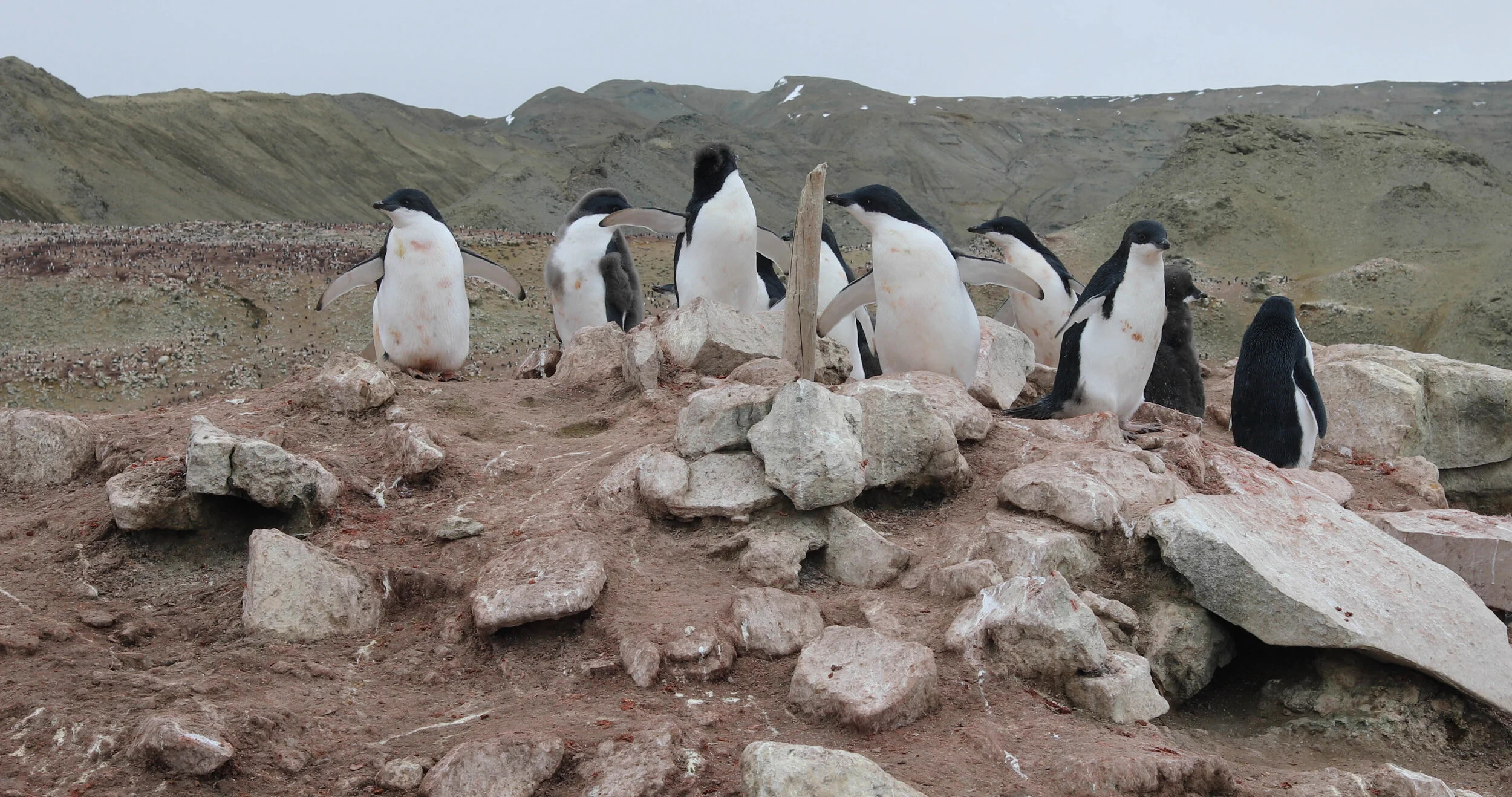
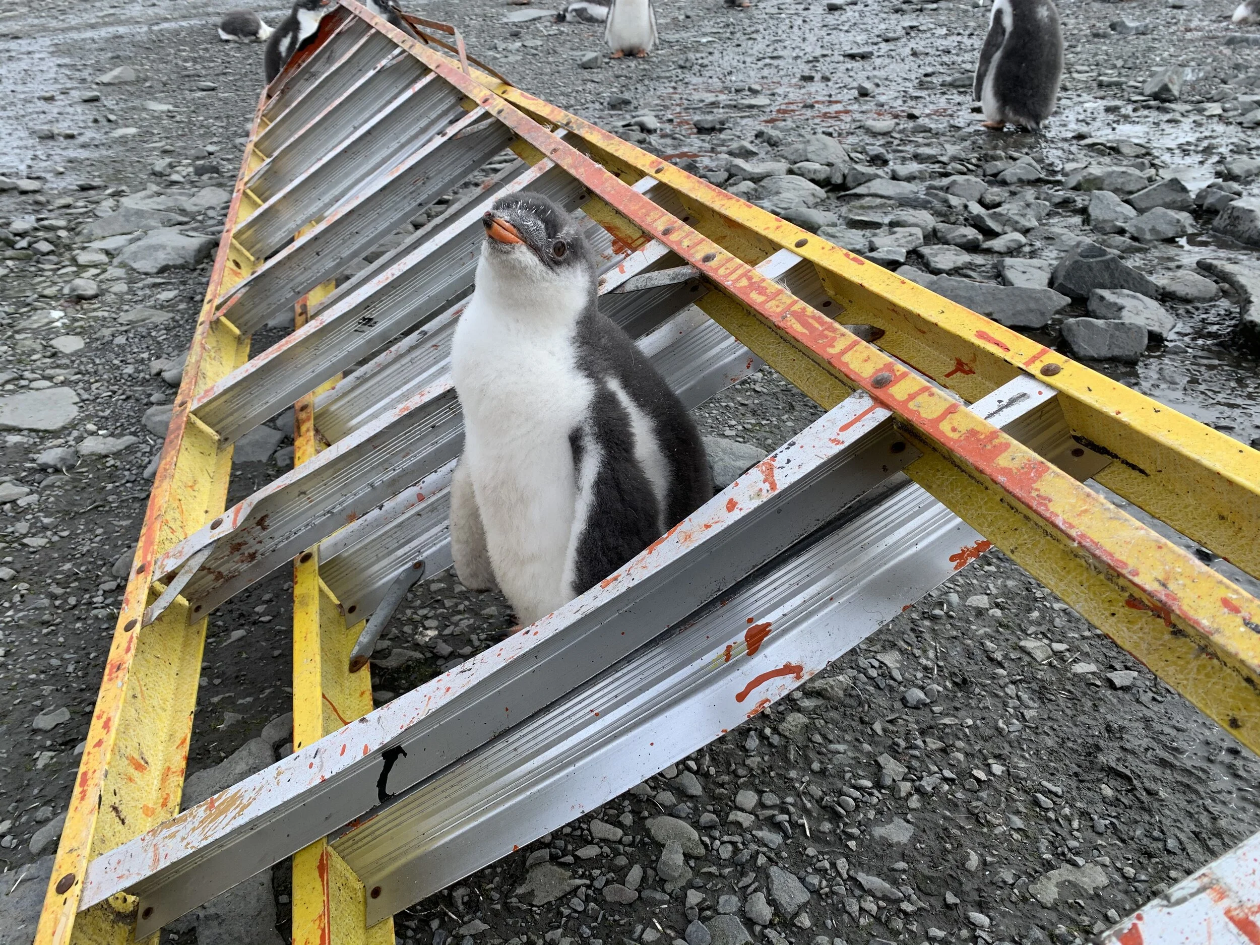
Due to the nearby penguin colonies, we could do no close-up drone photography of the shelter. Instead we put more time into structure-from-motion photography, taking more than 4000 photos of the structure, and laser scanning using the Faro Focus (fig. 3 and 4). While smaller than the Winter station on Snow Hill Island, the way it was built with layers upon layers of rock proved difficult to document as we had to scan and take photos from a large number of angles to properly capture the complexity of the structure (fig. 5). All in all, we did two complete sets of photography, with approximately 2000 photos in each set, and four sets of laser scanning with 16-24 stations in each set (heavy snow fall and wind forced us to cut short two of the sets) (fig 6). Since we were not allowed to open the wooden door to the shelter, we used an old ladder to climb in and out of the structure, and to take photos from ”above”. The penguins were constantly all around us, getting more and more comfortable with our presence (fig. 7 and 8).
The documentation gathered from both techniques turned out good, and will serve different purposes: the dense point clouds obtained from the laser scanning allows for exact measurements (fig 9), while the structure-from-motion model is easier adapted to visualisations and immersive first person experiences. The processed point clouds and meshes will be made available later this year for everyone.
At the Bay of Hope we also did sound recordings of the Papua and Adelie Penguins, the wind, the waves against the shore, and our footsteps in the sludge. All of this is brought together in a first-person virtual reality simulation of the shelter we are working on (fig 10) Follow the progress on https://mobile.twitter.com/jk_westin.

Fig 1. Plan of the stone shelter drawn by S. Duse.

Fig 2. The stone shelter in 2020, with the Esperanza base in the background. Photo: J. Westin.

Fig 3. Point cloud obtained through Structure-from-motion

Fig 4. Detail view inside point cloud obtained through the Faro Focus.
Fig 5. Detail view inside point cloud obtained through the Faro Focus

Fig 6. 360 Panorama of the inside from the Faro Focus.

Fig 7. A curious penguin playing with the ladder. Photo J. Westin

Fig 8. This penguin took an interest in the scanner box. Photo: J. Westin

Fig 9. Exact measurements obtained from the point cloud.