Just in time to celebrate and anticipate World Penguin Day on April 25th, Polar Geography has published our article Tourism and heritage in Antarctica: exploring cultural, natural and subliminal experiences, co-authored by CHAQ scientific project members Bob Frame, Daniela Liggett, Kati Lindström, Ricardo Roura and Lize-Marié van der Watt.
In the article we look at Antarctic tourism before COVID-19 outbreak (which was a game-changer, as you may imagine, at least for some time). We looked at how Antarctic heritage is represented in three types of documents.
First, the official documents of the Antarctic Treaty System, such as the documents concerning the List of Historic Sites and Monuments and the Site Guidelines for Visitors, developed in cooperation with the Antarctic tour operators’ association IAATO. These documents establish the authorised heritage value of the Antarctic Treaty System, that is, the political consensus about the heritage values in Antarctica.
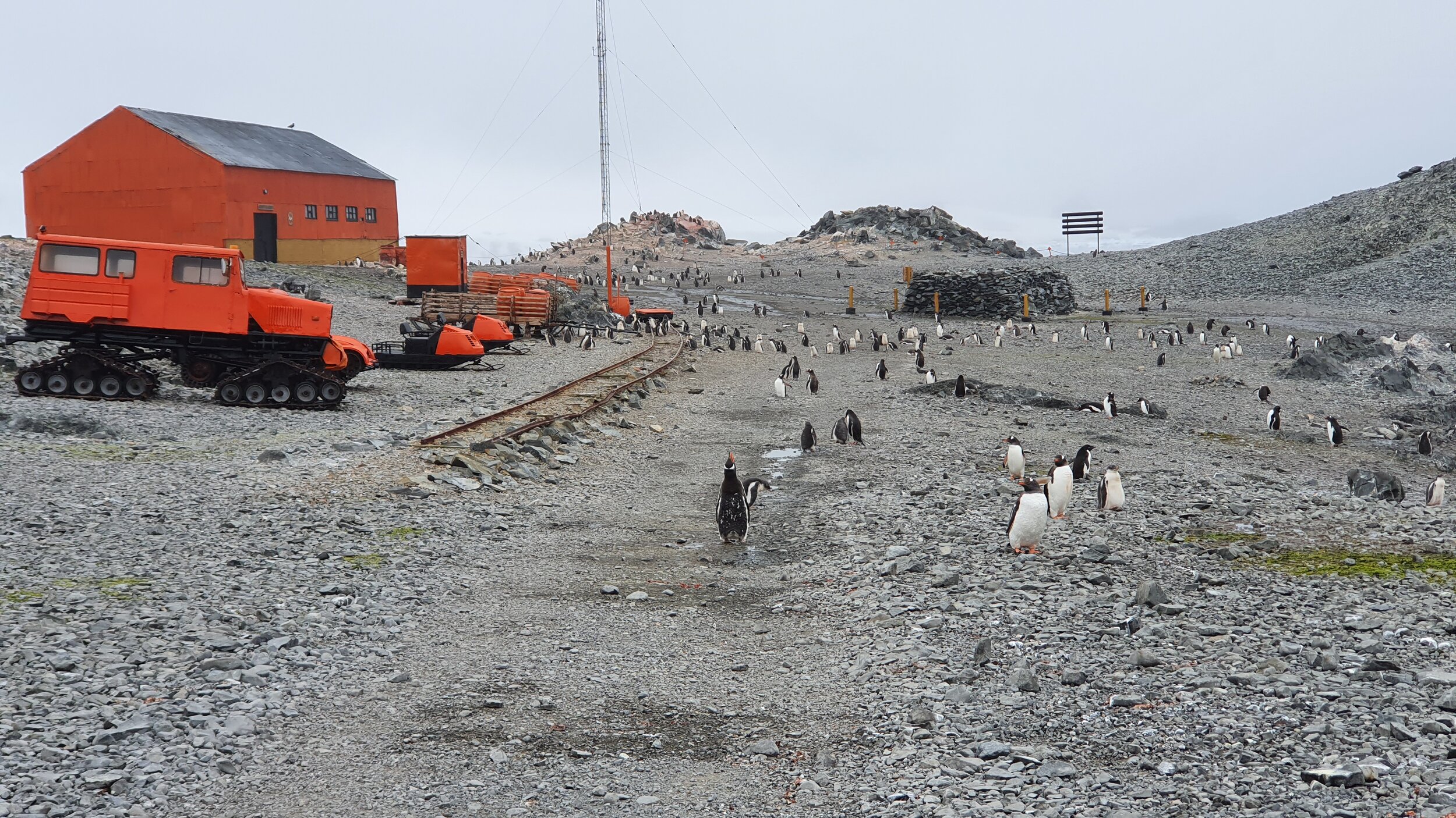
Second, we have looked at how IAATO tour operators “serve” heritage as a commodity and what is the horizon of expectations that they generate in their materials. Real tour routes are always a compromise between anticipated tourist interest, cost and accessibility, but it seemed to be rather clear to us that the cultural heritage aspects are in the back seat, and overwhelming natural “wilderness” experience takes the centre stage. Most of the tours take place in the areas that have had a major anthropogenic impact, but that is not perceivable to our urban tourists born and raised among asphalt of warmer latitudes.
However, the official values of the Antarctic Treaty System do not always represent the tourist perception of the sites. Thus, as a third data source, we have also looked at the entries in the guest books in Antarctic huts and user-generated data in trip Advisor. These sources reveal that for a person who visits Antarctic tourists sites, the cultural and natural aspects of the environment blend into one hybrid experience of sublime. It is impossible to divorce the historical, authentic aspects of heritage sites from the natural environment they are located in. The resulting naturecultural hybrid experience is a part of the heritage value of these sites, even though the Antarctic Treaty System’s List of Historic Sites and Monuments concentrates more on isolated human artefacts rather than wider landscapes.
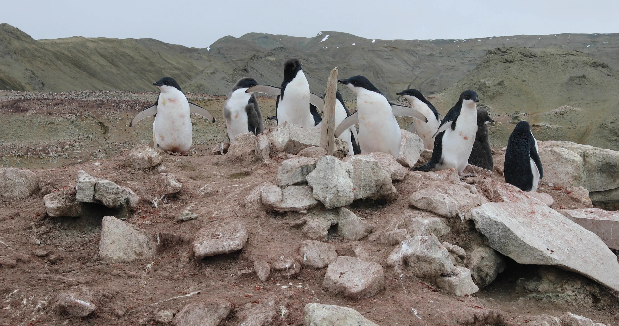
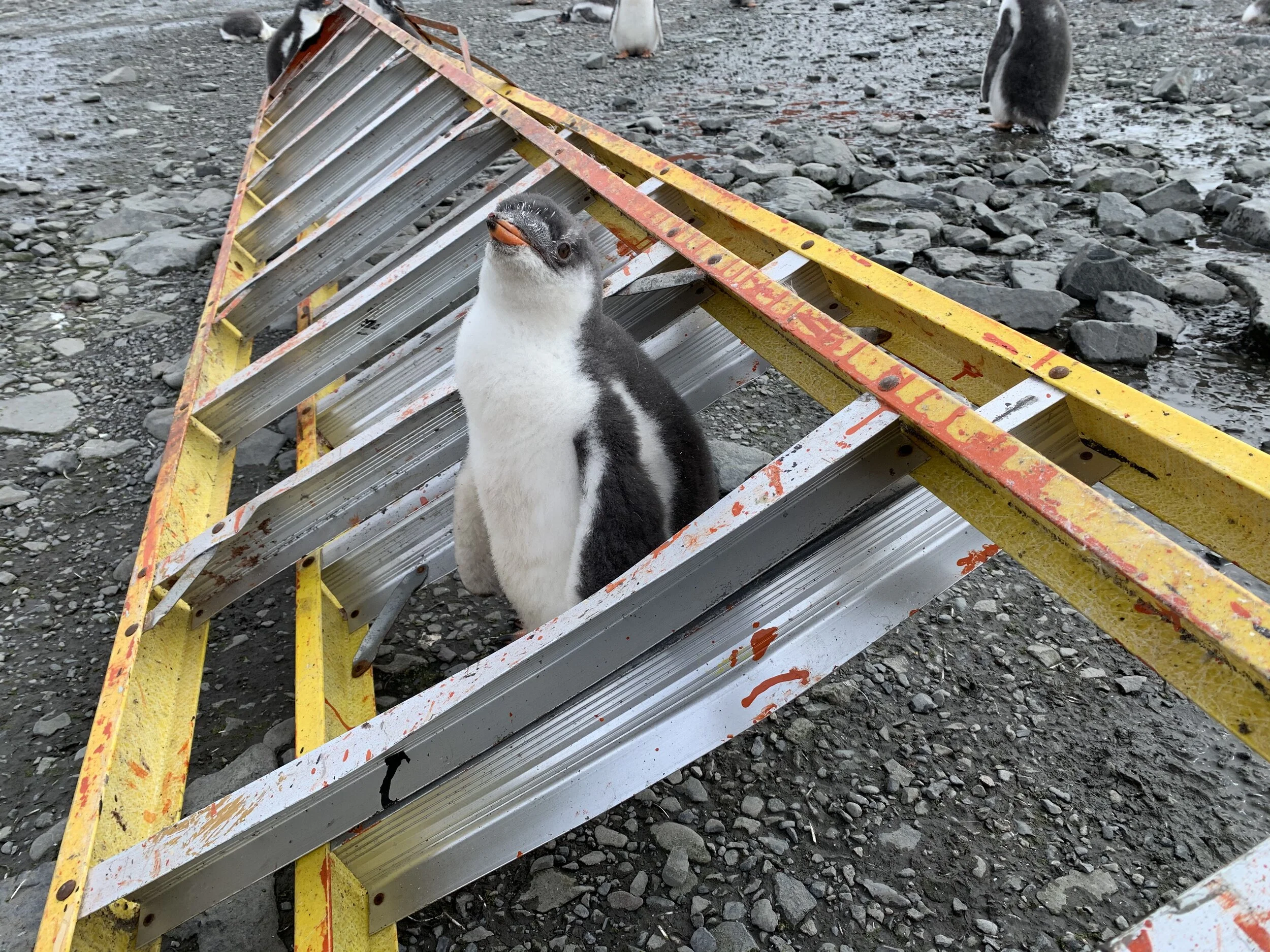
Penguins at Penguin Bay - enriching with smell and sound the experience of the inconspicuous wooden stick on the stone mound, the remains of the cairn and signpost marking the location of the depot left by Nordenskjöld’s expedition in this Bay in 1902, before starting their first overwintering season. The site is off limits for tourists as it lies in the heart of a huge penguin colony.